- Reference # AT.4.2223009
- Project Status Current
- Timeframe 1 year 8 months
- Project manager Sarah Docherty
- CRCNA Funding $506,500.00
- Total project value $1,748,222.00
- Project research participant Australian National University
- Research Programs 4. Building industry and capacity in Northern Australia
- Location Groote Eylandt
- Strategic policy development
Summary
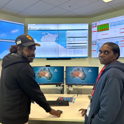
Modern-day natural resource managers frequently rely upon Geographic Information Systems (GIS) to manage resources and identify opportunities for the economic activation of their assets. However, remote Indigenous community-controlled businesses are at a distinct disadvantage when attempting to access GIS technologies when compared to their non-remote and non-Indigenous counterparts. A key issue for Indigenous land managers is the difficulty in representing Indigenous cultural concerns and priorities in GIS tools which were developed for western land management and planning.
Project lead, Anindilyakwa Land Council (ALC) is seeking to implement a GIS program to assist in activating their Indigenous estate for an ambitious economic and social development program.
By partnering with ALC on this project Aerometrex, Geoscience Australia and the Australian National University will seek to develop and adapt GIS mapping and technical products to better suit the remote Indigenous context and share the approach with industry and government for wider-scale adoption.
The project will be based around a focus area for a community mapping exercises where Traditional Owners can produce spatial data which captures information relating to the living cultural landscape of their Country. This data will be built into story maps which are integrated into a GIS, providing a platform for community voices in Country planning. This data which is generated will then be stored in the ALC’s geospatial database and can be utilised as a layer of ‘baseline’ cultural information for use by land and sea managers.
Expected outcomes
The research will:
- Overcome practical barriers faced by remote Northern Territory communities in relation to access, ownership, and utilisation of spatial data for Indigenous businesses.
- Provide a method and publicly available model for the integration of data relating to cultural concerns and priorities into a spatially enabling land management system, contributing to the economic development agenda of Indigenous controlled businesses.
- Provide the people of the Groote archipelago (NT) with sovereignty over their spatial information and provide them with an avenue to access and utilize this information for strategic planning and decision making.
- Increase the capacity and capability for First Nations people to access, analyse and apply data to make informed decisions about their estate.