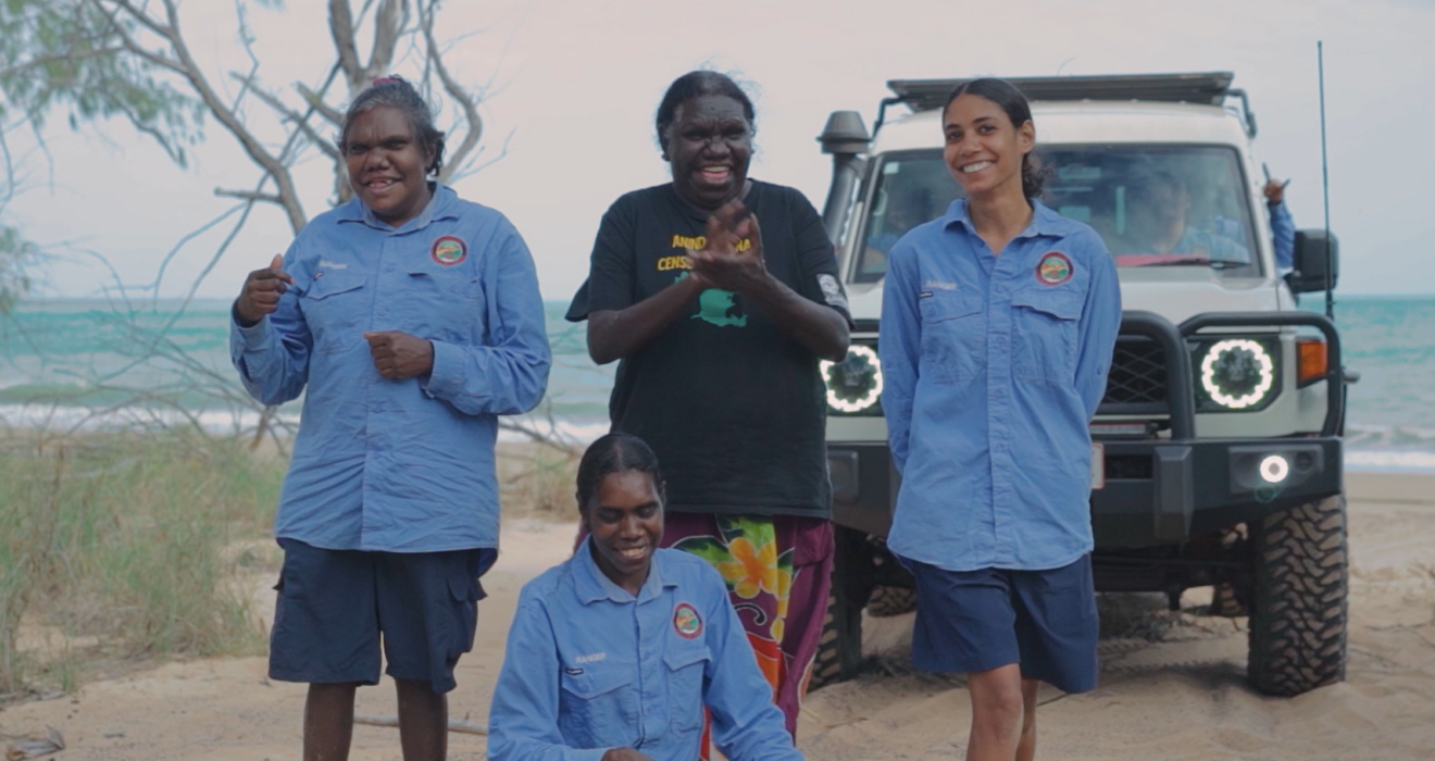

A community-led research project on the Groote Archipelago is demonstrating how advanced geospatial technology and Traditional Owner knowledge can work together to strengthen land and sea management across northern Australia. Led by the Anindilyakwa Land Council (ALC), the CRCNA-supported project developed a community-controlled geospatial information system, combining high-resolution aerial imagery, [...]